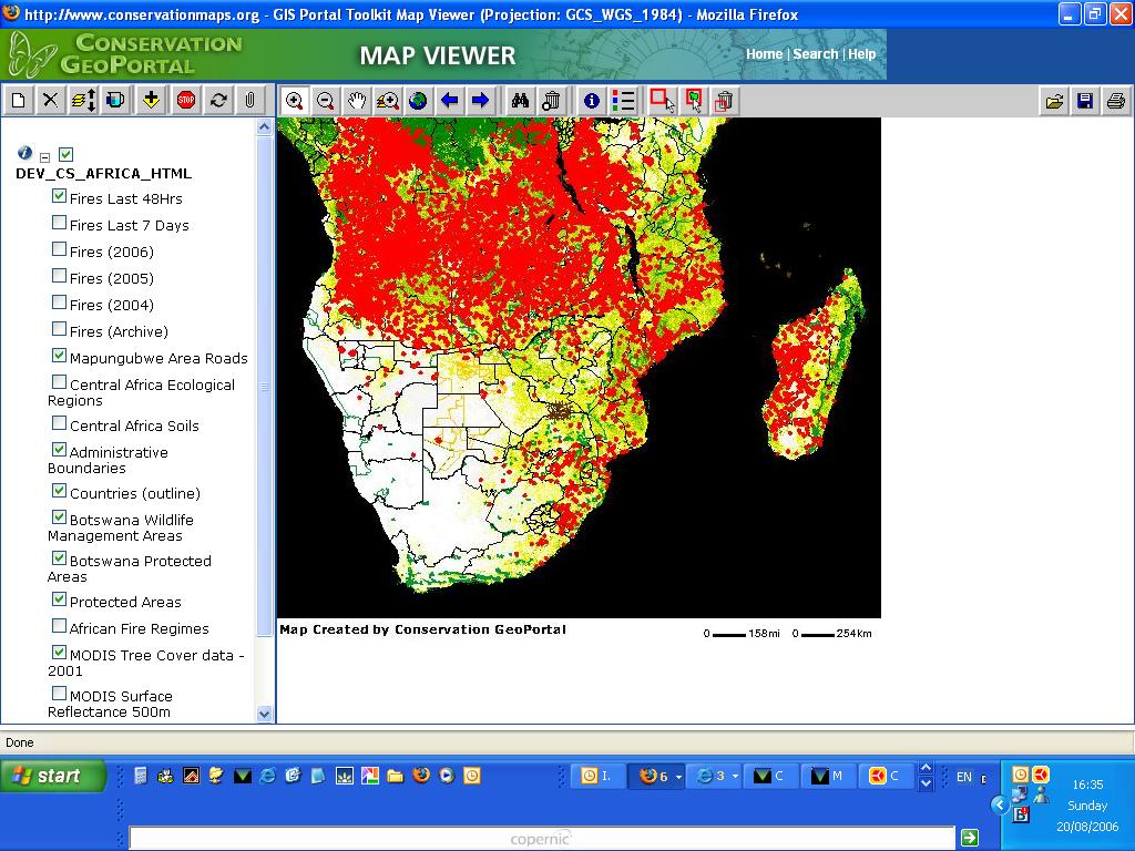
The Conservation GeoPortal is a new GIS-enabled web portal that allows contributors to share their conservation metadata through an online catalog, and permits map viewing in two dimensions. The portal is a service of the Conservation Commons, an information sharing project initiated by IUCN in 2004, that supports open access and the fair use of data and information related to the conservation of biodiversity. A sample result from the service is the Active Fire Detections Map Service map of wildfires in the Southern Africa region – the portal allows you to include or hide rivers, soils and vegetation data.
No comments:
Post a Comment